Commercial Area
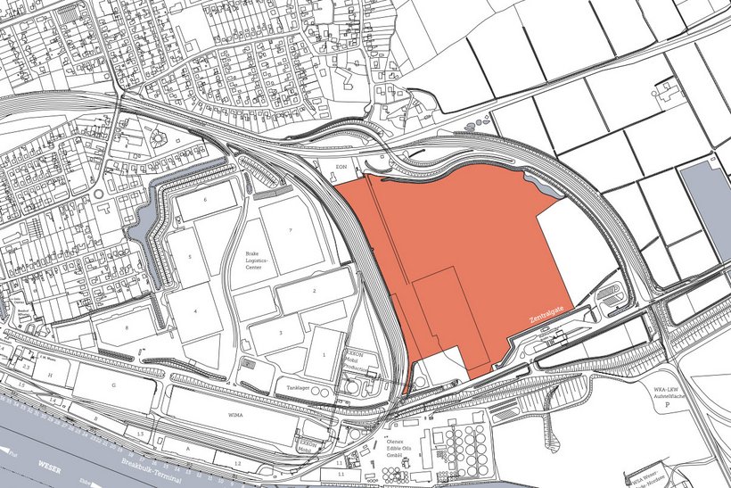
Boitwarder Groden south of curved rail track

Address
Port Area of Brake
Nordstraße
26919 Brake
Object
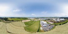
- abt. 22 ha of undeveloped surface area at the Boitwarder Groden with road and rail access as well as access to the Nordpier (North Pier) and Niedersachsenkai
- further development can be expanded to suit
Availability / type of contract
- available immediately
- area can be made available as total area or in parcels
- building lease contract, optional lease contract
Commercial utilization / zoning plan
- GI / Gle / GE lt. B-Plan B70 & B72
Land use and zoning plan / construction
- plot ratio 0.6 – 0.8
- cubic index 10.0
Limitations
- the height of buildings is restricted to 60 m
Target businesses
- industries with an affinity to the port, commercial settlements, service providers
Road connection
- Nordstraße
- federal motorway B 212 / B 211
- connection to Autobahn via Wesertunnel A27, abt. 15 km
Rail connection
- direct access to the port rail, extendable
- from there, access to the DB Fed. German rail network
Quay facility
- Niedersachsenkai, abt. 1 km
- Nordpier, abt. 800 m
Downloads
Charcteristics
Object :
B27
Size :
abt. 22 ha
Buildings :
undeveloped
Availibility :
immediately
Exploration :
road and rail access, Nordpier (North Pier), Niedersachsenkai
Usage :
GI / Gle / GE lt. B-Plan
Distances
| Airport (HB) | abt. 60 km |
| City center | abt. 2,5 km |
| Bremen | abt. 60 km |
| Bremerhaven | abt. 40 km |
| Hamburg | abt. 185 km |
| Hannover | abt. 190 km |
| Duisburg | abt. 280 km |

