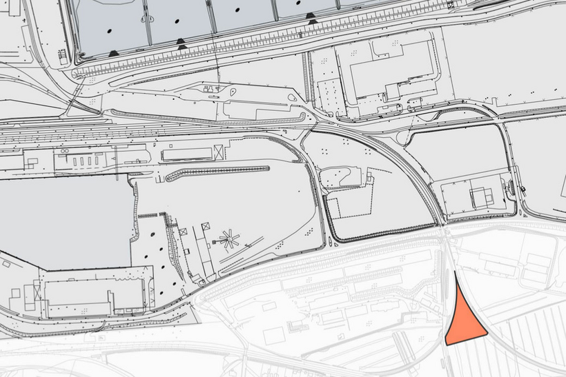
Commercial Area
Rail Triangle Cuxhaven

Address
Port of Cuxhaven
Neufelder Straße / Grodener Deichstraße
27472 Cuxhaven
Object
- commercial area within the rail triangle, 2 sep. areas, size abt. 2,200 m2 and 4,200 m2, respectively
- so far in use as agricultural areas
- surface unpaved, mostly level ground
- foundation soil: silty sand, dry to wet
- not developed
- access via Papenstraße/Grodener Deichstraße
- inner seawall area, safe from flooding
Availability / type of contract
- available immediately
- lease or Erbpacht contract
Commercial utilization / zoning plan
- designation „SO-Port“
Land use and zoning plan / construction
- zoning plan 113
Limitations
- distance to residential area: at least 150 m
- it is expected that compensational measures for displaced natural habitats will be necessary
Target businesses
- storage area, area for utility and (water) removal (transformer) station, pumping station and similar
Road connection
- Woltmanstraße
- connection to A 27 (Bremen), abt. 1.1 km
- federal motorway B 73 (Hamburg), abt. 1.1 km
Rail connection
- train station abt. 3 km
Downloads
EU-Tender-Notice
Charcteristics
Object :
C13
Size :
4.200 m²
Buildings :
surface unpaved
Availibility :
immediately
Exploration :
not developed
Usage :
SO-Port
Distances
| Airport (Nordholz) | abt. 13 km |
| City center of Cuxhaven | abt. 3 km |
| Bremen | abt. 98 km |
| Hamburg | abt. 121 km |
